How Does a Map App Know the Fastest Way?
IntermediateTech & Internet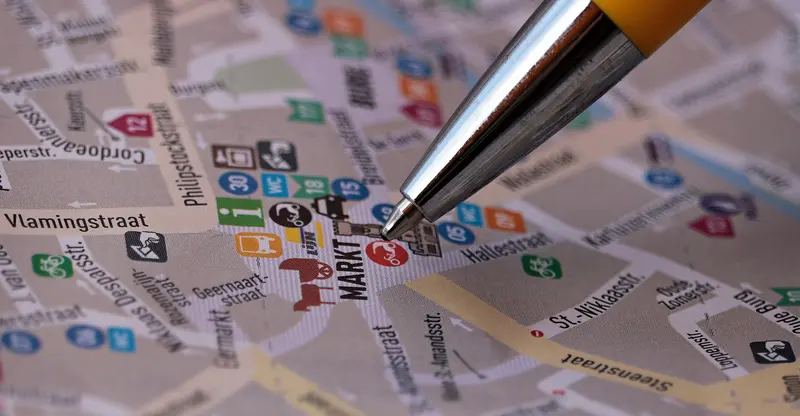
How Does a Map App Know the Fastest Way?
The idea behind the blue line
Model script
Hi, everyone. I'm a taxi driver in Bangkok, and I use a map app every day. One day, I wondered: how does it know the fastest way? Today, I'll explain the basic idea in simple words.
Your recording
Say this slide out loud, then listen to yourself.
Recordings stay on this device and disappear when you leave the page.
Useful phrases
One day, I wondered:
One day, I asked myself.
the basic idea
The main, simple concept.
Full script
Read the whole talk.
All slides in one place. Read it through once, then practice slide by slide.
01How Does a Map App Know the Fastest Way?
Hi, everyone. I'm a taxi driver in Bangkok, and I use a map app every day. One day, I wondered: how does it know the fastest way? Today, I'll explain the basic idea in simple words.
02Step 1: Knowing Where You Are
First, the app needs to know where you are. Your phone gets signals from satellites, and it can also use nearby Wi-Fi and cell towers to find your position.
03Step 2: Roads as a Network
Second, the app sees the city like a giant net. Every corner is a point, and every road between them is a line. Each line has a cost: how long it takes to travel.
04Step 3: Searching for the Cheapest Path
Third, the app searches for the path with the lowest total time. It doesn't try every road in the city. Instead, it uses smart shortcuts to focus on roads that lead toward your goal.
05Step 4: Watching the Traffic
Finally, the app watches traffic. If a road is crowded, that line becomes more expensive, so the app may choose a different route, even while you're driving.
06Why It's Sometimes Wrong
Of course, it's not perfect. A sudden accident or a closed street can surprise it. As a taxi driver, I sometimes know a better way, because I know my city.
07Conclusion
To sum up, a map app finds your location, sees the roads as a network, searches for the fastest path, and updates it with traffic. Next time you see that blue line, you'll know what's behind it. Thank you.
Cover photo by NoName_13 on Pixabay